Software
Our services include Sales and Support of Surveying and Construction equipment, software and Real Time Network subscriptions. We also offer GPS, Robotic and Data Collector rentals and used equipment.
Carlson Connect
Carlson Connect is a collection of routines for transferring and converting data between Autodesk® Civil 3D and Carlson’s popular data collection software Carlson SurvCE. Carlson Connect works with Autodesk Civil 3D using the current Civil 3D data model. Carlson Connect has been developed with cooperation and support from Autodesk, Inc. and is available for a nominal fee.
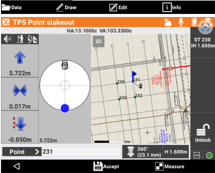
GeoMax X-PAD Survey
The essential solution for all your design survey, property survey, and layout needs. Runs on Android devices.
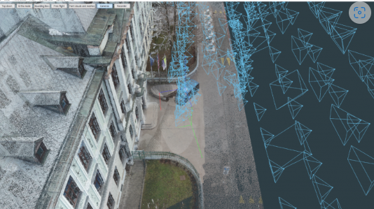
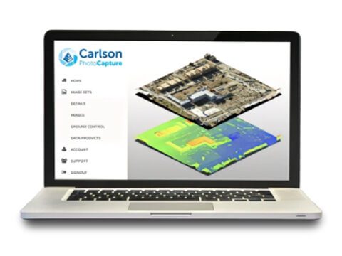
3D Survey Photogrammetry Software
Transform your imagery data into highly accurate digital maps and 3D models with extreme cm-grade precision.
Software We Carry
Contact Us
Our services include sales and support of surveying and construction equipment, software and real time network subscriptions. We also offer GPS, Robotic and Data Collector rentals and used equipment.
Let’s Talk – Contact Us Today
